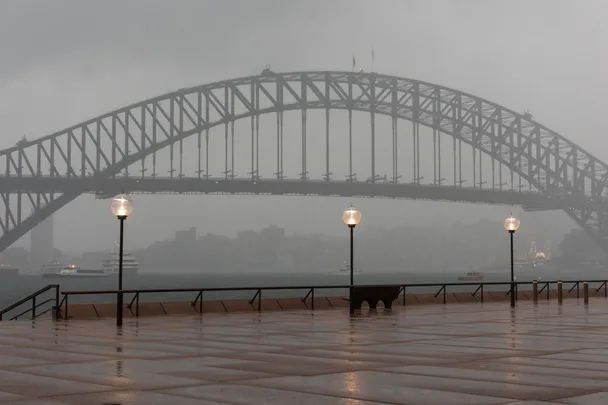
Well, it looks like we can kiss goodbye to our hot girl summer plans because the Bureau of Meteorology has officially confirmed that La Niña is coming. The climate driver has a huge influence over the weather here in Australia, bringing with it a drop in temperature and plenty of rainfall (particularly on the east coast). The disappointing news doesn’t stop there though, because the weather event also brings the possibility of tropical cyclones and flooding.
Below, everything you need to know about La Niña and its impact on Australian weather this summer.

What is La Niña?
La Niña (which means The Girl in Spanish) is a complex weather pattern which has the strongest influence over how the climate varies each year. During a La Niña event, strong winds blow across the Pacific Ocean which pushes warm water towards Asia and North Australia. Unfortunately, the warm water means increased rainfall across both northern and eastern Australia — fun!
La Niña is the counterpart of El Niño (which means The Boy in Spanish) and leads to warmer weather and drought conditions. Given that both weather patterns directly affect The Pacific (which forms close to half of the Earth’s surface), it’s no surprise that their impact is so widespread.
What does this mean for our Australian summer?
Sadly, this is the second year in a row that La Niña has hit Australia. It marks the first time that back-to-back events have occurred in a decade (the last being 2010-2012). According to the BoM, the last multi-year La Niña event lasted for three years from 1998-2001.
According to modelling from the BoM, the weather event “will persist until the late southern hemisphere summer or early autumn 2022”. The Bureau has also reported that the six wettest winter-to-spring periods in eastern Australia occurred during La Niña years (so we can probably expect the same this time around).
Along with rain, La Niña also means cooler daytime temperatures. The weak La Niña event experienced last year were responsible for us feeling the effects of the coolest summer in nine years, and the wettest in four years.
Speaking to The Guardian, senior research associate at UNSW’s Climate Change Research Centre, Dr Agus Santoso, predicted that the impending La Niña event is “probably not as strong” as the one we experienced between 2011-2012. That being said, he does expect “wetter-than-normal conditions,” so we’re not entirely off the hook. To make matters worse, another climate driver called the southern annular mode (Sam) is now in a positive phase, which is associated with increased rainfall.
“If you only have a La Niña then there will be less of an impact compared to if you have a La Niña plus positive phase of the Sam,” Dr Santoso told The Guardian.
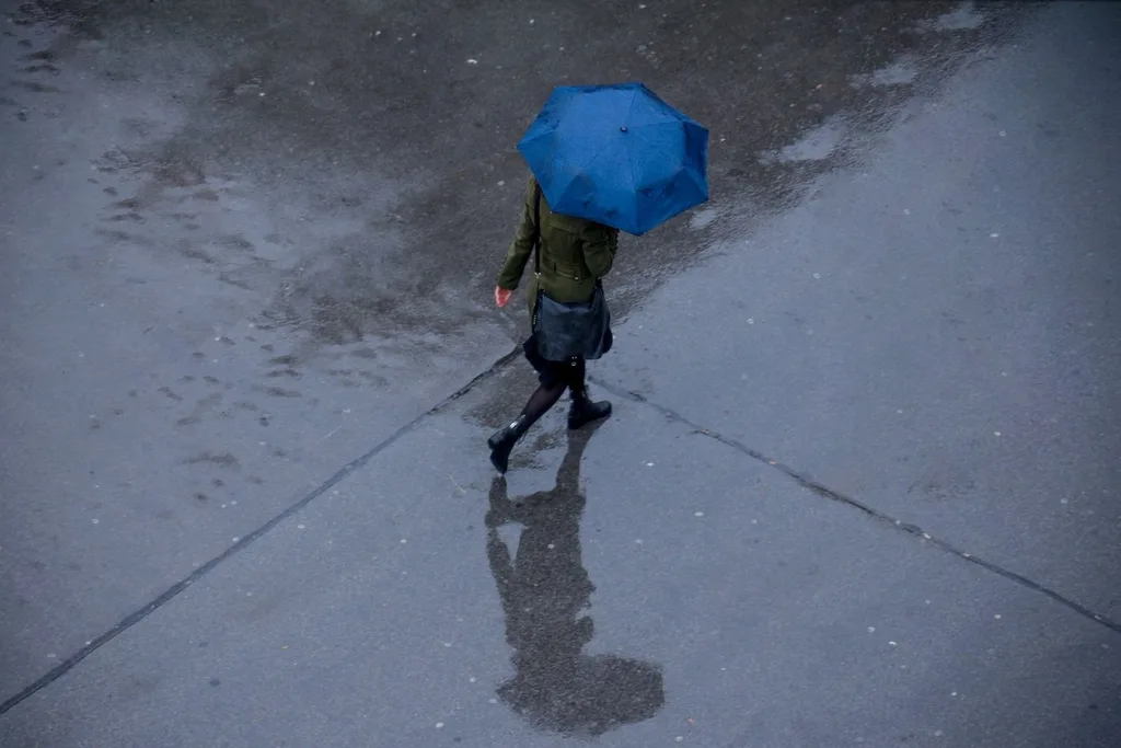
On the upside, the weather will reduce the likelihood of bushfires (which typically increase over summer) and it could help our farmers recover from the catastrophic droughts they have previously experienced. For now, we’ll be investing in a sturdy umbrella and putting our beach plans on hold.
Related stories

Native ad body.

Native ad body.


Native ad body.