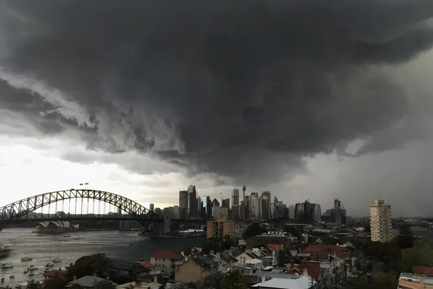
The east coast of NSW has experienced some of the worst rainfall in history over the last week, with evacuations across the Mid-North coast and western Sydney as rivers have broken their banks and flooded residential areas. Unfortunately, it looks like this NSW weather is set to continue through this week, too.
NSW premier Gladys Berejiklian told residents in a media statement to prepare for worse weather this week. “It’s not going to be an easy week for us but I know no matter what comes our way we will be able to deal with it,” she said.
The Mid-North coast is the most dangerous zone currently, with Berejiklian calling the rainfall a “One in 100 year event” after areas like Nelson Bay recorded over 458 millimetres of rain in the three days up to 9:00am on Sunday morning, marking the highest ever three-day total since records ever began in 1889. 16 local government areas have been declared a national disaster thus far.
In terms of Sydney, more than 200mm of rain has fallen in Parramatta in the past three days, with the river breaching its banks and flooding parts of the area. Rainfall is expected to continue for the next few days, with relief coming on Wednesday, which is predicted to be sunny according to the Bureau of Meteorology.
Warnings have been issued around travel to work, with SES Commissioner Carlene York urging commuters to consider work from home. “Going to work, even though you hope it may not be affected, your work premises may be affected in some areas, so once again know that if you do need to go to work make arrangements to work from home,” they said.


